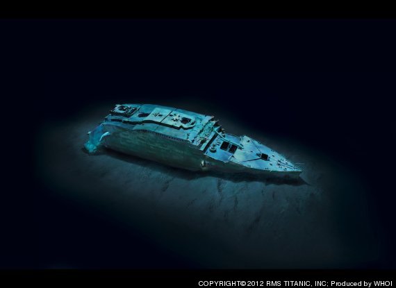
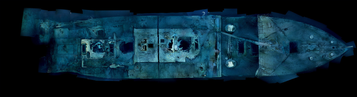
The Woods Hold Oceanographic Institution has completed a mapping of the entire wreck site, by stitching together a bunch of smaller images.
Archeologist James Delgado put it eloquently:
"In the past, trying to understand Titanic was like trying to understand Manhattan at midnight in a rainstorm—with a flashlight. Now we have a site that can be understood and measured, with definite things to tell us. In years to come this historic map may give voice to those people who were silenced, seemingly forever, when the cold water closed over them.”
The images are haunting--seeing the entire ship in reality, and not just computer generated drawings.
There will be an entire article on the project, and the sinking in general, in April's National Geographic.
I can't wait !!
No comments:
Post a Comment